Washington State Geologic Information Portal

Table of Contents

If you like maps and haven’t checked out the Washington State Geologic Information Portal, it is a wealth of useful information! More than just interactive maps, they also have geoscience data and collections and links to other earth science information sites.

Of especial interest to Vashon residents might be the geologic map (showing faults on the surface, liquefaction, of geologic structures), the landslide map, and the subsurface geology map.

DNR-WAInteractiveGeologicMapDNR-LandslidesOfWAStateDNR-SubsurfaceGeologyInfoSystem

comments powered by Disqus

Related Posts

King County tests disaster response with regional earthquake exercise

Drill includes delivering critical supplies to Vashon Island by boat

Read More

DHS-- Fusion Centers & EOCs Need to Talk

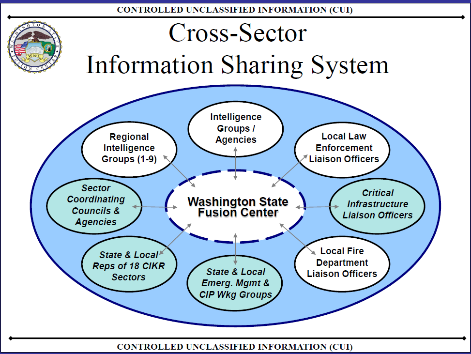
According to the inspector general (IG) of the Department of Homeland Security (DHS), state and local fusion centers and emergency operations centers could improve the response of their jurisdictions to terrorism and natural disasters if they talked to each other more often. Many fusion centers and EOCs surveyed do not exchange information.

Read More

Store food & water–or secure your furniture? Maybe do both…

NPRNational Public Radio’s Lucy Craft has a number of interesting posts about life in Japan post last year’s tsunami and earthquake. Today’s post, “After The Quake, Japanese Shop For Survival”, notes that local stores are selling lots of all-in-one emergency flashlights-radios-etc. – but concludes with the observation from one survivor of the 1995 Kobe earthquake, “city dwellers should focus on how to keep their furniture from crushing them alive” – not storing food as that will quickly arrive.

Read More